Wild Atlantic Way Map

One of Ireland’s leading illustrators Fuchsia MacAree has created this wonderful map of the Wild Atlantic Way for Cara, the Aer Lingus in flight magazine.

Of course Fuchsia chose to place a bicycle where the planned Tralee to Fenit Greenway and the Great Southern Trail will be located !

You can check out more of Fuchsia’s work on her website.

waw

On your bike

2014-04-20 16.11.19
I was just passing the playground in Fenit and noticed a lot of bikes, this is what happens when we get in a sunny April day ! Of course the playground is located on the platform of the former Fenit railway station and is ideally positioned at the end of the planned Greenway. Maybe this time next year the children of the area will be able to walk or cycle in safety along the old railway to the playground rather than the dangerous road through the village which even in 2013 doesn’t have a continuous footpath !

Wild Atlantic Way

waw

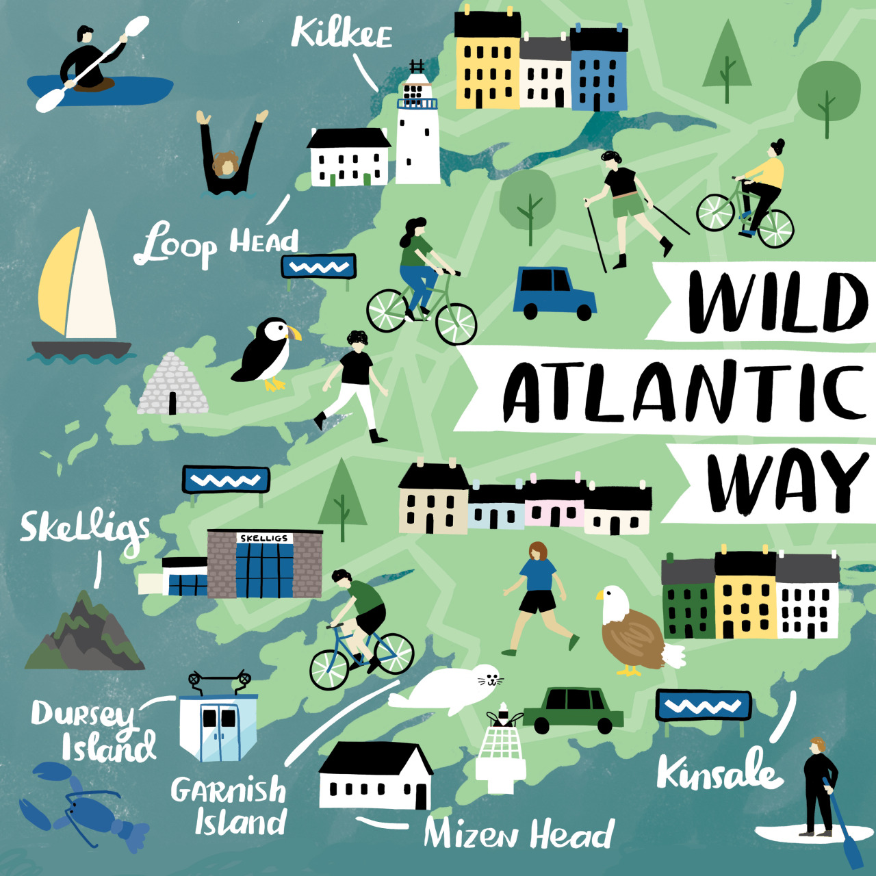
The Wild Atlantic Way (WAW) which is currently under development is a driving route along the Atlantic coast from Donegal to Cork. The Wild Atlantic Way route would run along the path of the Tralee-Fenit Greenway and would provide an activity for tourists traveling the WAW.

This is an opportune time for its development as it would allow its inclusion by Failte Ireland and Discover Ireland in WAW promotional materials over the next several years. In addition to this , several communities along the WAW in Kerry are currently in collaboration to develop the St Brendan Story as a tourism experience, with which the Fenit area is inexplicably linked . The proposed greenway provides added value to this initiative as it will add to a proposed cluster of tourism activities, the development of which will make the region more attractive as a tourism destination.